medina tree canopy assessment
Owner
City of Medina
Location
Medina, Washington
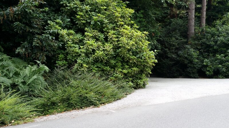
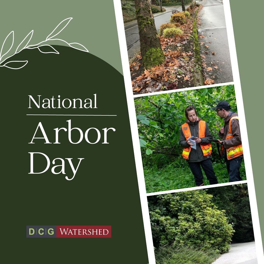
The Watershed Company urban foresters and GIS Specialists developed a systematic method to inventory and assess tree canopy cover for the City of Medina using remote sensing data, in combination with arborist assessment techniques. More than 280 acres of urban tree canopy were identified using GIS applications. Over 5% of the preliminary result were plotted out in sampling grids along public right-of-ways and ground-truthed with field assessment.
The robust data provided a comprehensive overview of tree canopy coverage, composition, and on-ground conditions within the 900-acre City. It was further compared to the 2001 National Land Cover Dataset percent tree canopy database for a change analysis. The analysis provided helpful information for Medina to measure the effectiveness of tree protection policies in preparation of the tree code ordinance update in 2014
Services Provided
ISA Certified Arborist field evaluation
Geospatial mapping from orthoimagery
Extrapolating and analyzing remote-sensing data
Urban forest planning