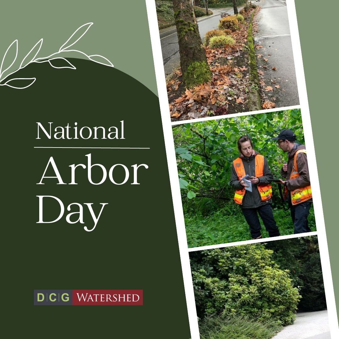
Written by Katy Crandall, WPIT, ISA Certified Arborist, TRAQ
Accurate assessment of sensitive areas is critical to project success, whether you are considering buying and building your own house or adding onto an existing house on a property that may have wetlands or streams (also known as critical areas).
In general, you have two options: wetland delineation or wetland reconnaissance. So what kind of study is right for you?
When to Get a Wetland Delineation
Maybe you are ready to build on a lot you own, either a new house or an addition to an existing house, and you suspect or know that there are streams and/or wetlands on your property. In most cases, you cannot build within wetlands or streams, or their buffers, without getting a permit from the city or county. To comply with local, state, and federal regulations, you will need to know the location of stream or wetland boundaries and their buffer widths before you can build.

Vegetation, soils, and hydrology are analyzed to assess critical areas.
A stream or wetland delineation study involves a thorough investigation of any critical areas on-site. The critical area boundary is flagged and displayed on a map along with the associated buffer width. The map is presented in a report that may be used for permitting as well as site layout. The letter-style report will also include a discussion of local regulations including setbacks and standard buffer widths.
When to Get a Wetland Reconnaissance
Maybe you want to purchase real estate. The complexity of land use regulations may lead you to hire a professional to help you evaluate the permitting restrictions that may be imposed, especially if there are wetlands, streams or shorelines on or near the property.
A wetland reconnaissance is a general property assessment to determine if critical areas are present on a property. If none are found, the product is a letter-style report confirming the absence of critical areas, which may be used for permitting purposes.
However, if a wetland is found, the general location and estimated buffer size are described in a report that can assist you in evaluating if the property meets your needs. That report cannot be used for permitting — you would need to get a wetland delineation to determine impacts.
Wetland Delineation vs. Reconnaissance
Sample wetland delineation sketch.
Wetland Delineation
- Required by local jurisdictions when critical areas (wetlands, streams, and shorelines) are present
- Usually required if prior delineation study is 5+ years old
- Detailed analysis of critical area types, boundaries, and buffer widths present on-site
- Wetland or stream boundaries are flagged for survey
- Client receives:
- A report that may be used for permitting
- Wetland determination and rating forms
- A sketch or GPS map with flagged locations of wetland boundaries
Wetland Reconnaissance
Sample wetland reconnaissance sketch. Note that there are no flag locations, and the stream and wetland boundaries are less precise than in the delineation sketch.
- Useful for those considering property purchase
- Quick determination verifying whether critical areas are present (no flags hung)
- Client receives:
- Report describing presence or absence of wetlands
- If wetlands are present, report may not be used for permitting
- If wetlands are absent, report may be used for permitting
- Report describing presence or absence of wetlands
- Sketch of estimated wetland and stream boundaries, if present
What's Next?
The weather and time of year doesn't affect wetland assessment, so once you've figured out what you need, you're ready to get a quote.
Give us a call with your parcel number and we can give you a cost estimate. Still need help deciding, or want more details about your options? Our wetland team would be happy to help!